Fall 2004
INSTRUCTOR:
Mark Williams
Jordan Clayton Brock McCarty
Andrew Meyer

Fall 2004INSTRUCTOR:
|
|
HOMEWORK ASSIGNMENT:
Using the Worldwide Web to Find Information on Soils
| OBJECTIVES: | (a) to look at characteristics of soils in the United States; |
| (b) to utilize the internet to gather information. |
BACKGROUND: The US Department of Agriculture Natural Resources Conservation Service (NRCS) publishes maps and reports describing soil characteristics in virtually all areas of the United States. The NRCS soil survey maps are very detailed, and often show many different soil types within a few square miles. The reports provide additional basic data on soil characteristics (porosity, available water capacity, rock fragments, etc.), and tables that rate each soil in terms of its potential for growing certain crops, drainage characteristics, suitability for building site development, ability to support wildlife, and so on. The soil survey maps and reports are thus very useful for agricultural and planning purposes.
Recently much of this map-based information has been converted from
hard-copy to digital format, making it easier to incorporate soils data
into climatological and hydrological models. These digital data bases
are
available for every state in the US, hence the name State Soil
Geographic
(STATSGO) data base. As before, various attributes of soils are
included
in the data bases, thus they can be used for regional planning and land
management purposes, as well as forecasting the effects of changes in
soil
moisture and potential evapotranspiration.
DATA: To obtain data for this lab, you will link to websites
we have identified in the text.
ASSIGNMENT:
You may print out this assignment and answer the questions in the spaces provided, OR to save paper, you may simply answer on a separate piece of paper, clearly identifying the question number, e.g. 1a) 1b) ..... 6a) 6b) and so on.
Be sure to include:
Answer the following questions using this website:
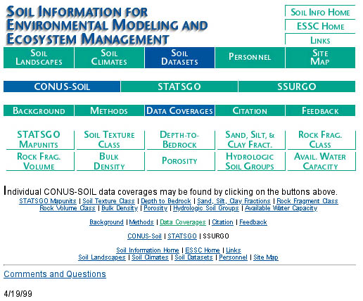
1. Click on Soil Texture Class and then click on Image.You should see a map of soil texture for the US. Note the tremendous range in soil texture throughout the country. Looking at the map and the triangular diagram, what type of soil is most common in the Midwest? What type of soilis most common along the Atlantic Coastal Plain?
a) Midwest2. Click on Soil Texture Class (or use the Back command) and read the explanation. At the bottom you'll see a table listing soil water characteristics for different textures. The second column lists the volumetric water content at saturation (also called porosity), the column labeled Ks lists the saturated hydraulic conductivity (also called permeability ), and the last column lists the water content at the wilting point. Note that porosity does not vary much with texture, but wilting point does. Explain the trend in wilting point, i.e. why would a silty clay reach the wilting point at a higher water content than a sandy loam?
b) Atlantic Coastal Plain
3. If you scroll to the top, click on Porosity, then click on
Image, you'll see a rather bland map showing that, indeed, porosity
does not vary much from place to place. This suggests that most soils,
when saturated, hold about the same amount of water. However, the total
volume of water held in a soil is determined by other factors such as
soil
thickness or depth to bedrock. Scroll to the top, click on Depth-to-Bedrock,
and then click on Image. List two general regions of the US
where
depth-to-bedrock is less than 50 cm and two areas where it is greater
than175
cm:
a) less than 50 cm:
b) greater than 175 cm:4. Recall that available water capacity (AWC) is defined as the difference between field capacity and wilting point, and that AWC varies with soil texture [see class notes or p. 253 of your text (p. 239 in old edition)]. Scroll to the top again,click on Available Water Capacity, then click on Image. List the general region of the US with the highest values of AWC:
5. Referring back to some of the previous images and your general
knowledge
of soil moisture,
a) explain why the Rocky Mountain Region is characterized by low values of AWC:
b) explain why the Southeast is characterized by intermediate values of AWC; this is an area of abundant moisture, and very thick soils, so why isn't the AWC higher here?
Now go to the following website:
argillic horizon a subsoil horizon characterized by an accumulation of illuvial clay.
natric horizon a subsoil horizon with 15% of more exchangeable sodium.
calcic horizon a subsoil horizon with 15% of more calcium carbonate (CaCO3).
base saturation percentage of base cations (Ca, Na, Mg, K) that make up the total cations; high values indicate nutrient rich soils.
available water capacity defined as the difference between the amount of soil water at field capacity and the amount at the wilting point.
6. Scroll to Aridisols and note their distribution on the
map of the US. These soils are located in areas of very high
evapotranspiration(90-95% of annual precipitation).
Notice in the photograph that the soil is lightcolored
from about 60 cm down. What do you suppose causes the lightcolor?
(Example #7 may be the best photo to use to answer this question).
7. Scroll to Mollisols, and compare the photo and
description.
These soils are widespread and very important from an agricultural
standpoint.
Using previous information on soil mositure and information contained
in
the description, explain why these soils are productive agriculturally:
8. Scroll to Spodosols, and look at the photograph. The
whiteish
layer from 0-40 cm is an eluvial (E) horizon reflecting intense
leaching
and removal of almost everything but quartz; this horizon is diagnostic
of spodosols. Now go to the following web site:
Click on the map labled Divisions, and click on the
teal-colored
area encompassing all of eastern Maine. You should see a description
with
the heading 210 Warm Continental Region. Note the comments on soil
characteristics
in the last paragraph. Answer the following questions:
a) Why is an upper layer of humus present in this soil, when it is
not
present in similarly leached tropical soils?
b) Spodosols are found in humid regions. Why are they poorly suited
to crop production?
c) What vegetation type thrives in these soils?