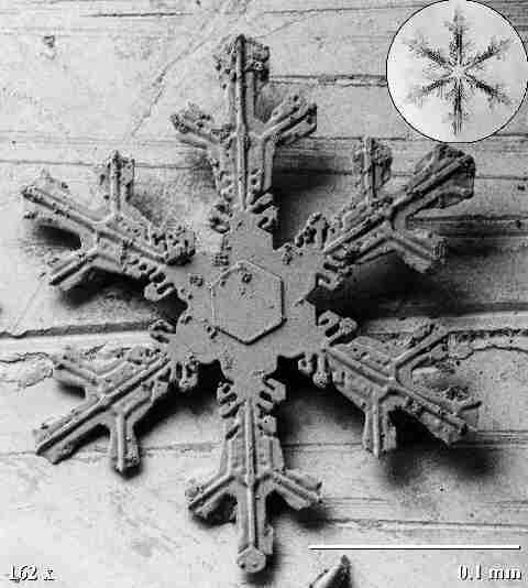
Snow Crystal SNOW HYDROLOGY (GEOG 4321): HOMEWORK ASSIGNMENT 4

Instuctor: Mark Williams
Telephone: 492-8830


Homework 4

  1. Mountain snowpacks are best characterized by digging snowpits in order to measure changes in physical properties of the snowpack (temp, density, stratigraphy...) with depth. For the next two questions, you will compare data collected from pits 006 and T3E on 14 March 1995. Pit 006 is a snow pit at a natural site on the saddle of Niwot Ridge. Pit T3E is behind a snowfence, only 50 m from pit 006. The snowfence is part of a long-term experiment to look at the effects of increased snow deposition on the biology and chemistry of an alpine tundra ecosystem. Please show all of the work for your answers. To find the data, go to the NWT LTER web page, select Data, then Hydrology and Geomorphology, then Snow Cover Profiles: Raw Data.
  2. For the same snowpits (006 and T3E on 14 March 1995), graph a temperature profile and graph a density profile. The x-axis is either temperature or density, increasing from left to right. The y-axis is snow depth in meters, with 0 (the soil) at the bottom of the y-axis and the top of the y-axis is the top of the snowpack. Density is the column "measured weight"; units are grams/1000ml, which is the same as kg/m3. Temperature is the column "measured temperature".
  3. Wind during snow events generally causes precipitation gauges to undercollect the "true" snowfall amount. The Niwot Ridge saddle area during the winter months is characterized by average wind speeds of about 10-13 m/s. Further up Niwot Ridge, the D1 meteorological site has much lower wind speeds. Compare the annual precipitation amounts from Sdl and D1 to see if they do in fact collect significantly different amounts of annual precipitation.
    Year	Saddle	D1
    (year)	(mm)	(mm)
    ----	----	----
    1986	1117	0908
    1987	1790	1271
    1988	1497	1055
    1989	1827	1074
    1990	1877	1037
    1991	1269	1213
    1992	1985	1502
    1993	1544	1159
    1994	2683	1568
    1995	2955	1231
    
  4. Following is a small data set on wind speed and catch ratio of snowfall from Niwot Ridge. Graph wind speed (x axis) versus catch ratio on the y-axis. Explain these results in 5 sentences or less.
    Wind	Catch
    Speed	Ratio
    (m/s)	(fraction)
    ----	----
    1.6     1.00
    1.75    0.91
    2.5     0.59
    2.7     0.58
    8.2	1.23
    
  5. The precipitation amount measured by a precipitation gauge can be adjusted for blowing snow using the following equations:
    	Pa = K * Pg
    		Pa = adjusted precipitation
    		Pg = gauge-measured precipitation
    		 K = 1/CR, adjustment factor for wind-induced error
    		CR = catch ratio of the gauge
    		CR = alter shield and snow = exp (0.0055-0.133Ws)
    		CR = no shield and snow = exp (-0.251-0.176Ws)
    		Ws = Wind speed (m/s) at gauge opening 
    		CR = HAS NO UNITS, SINCE WE ARE CALCULATING A RATIO
    		note: exp(x) = ex	
    
    • Assume 50 mm of precipitation for the following questions:
    • What is Pa for Ws = 0; alter shield and snow?
    • What is Pa for Ws = 2; alter shield and snow?
    • What is Pa for Ws = 10; alter shield and snow?
    • What is Pa for Ws = 10; no alter shield and snow?