 SNOW HYDROLOGY (GEOG 4321): FIELD TRIPS
Instructor: Mark Williams
Telephone: 492-8830
Snowpits: February 04, 2012
- Photos from 1997 trip
- See also photos and video from our 2011 field trip on the syllabus
- meet February 04, 8:40 am,
at INSTAAR
- We'll take buses to the
Mountain Research Station.
- Directions in case you miss the bus:
Boulder Canyon (highway 119) to Nederland,
then at circle of death in Ned head
north on Peak-to-Peak Highway (highway 72) 8 miles,
note green sign on left, turn left onto plowed road past the
sourdough trail, go right at junction with Rainbow Lakes
campground road (another big sign here), and proceed 1/4 mile
to Mountain Research Station. Park and assemble
at Marr Alpine Laboratory.
- BRING (ESSENTIAL)
- Excellent and outstanding ATTITUDE!!!!!
- Warm clothes incl. warm boots, gloves/mittens
(4 pair recommended), hat, etc.
We will be standing around part of the time, and it probably
will be windy.
- Lunch and water bottle (2 litres)
- Sunburn and lip protection, sun glasses
- Rucksack or fanny pack
- Hand lens
- Pencil (we'll provide forms for recording data)
and small notebook
- Skis - any kind will do - or snowshoes
- BRING (IF YOU HAVE IT).
- Thermometer
- Tape measure (metric)
- Shovel (the quintessential snow hydrology instrument)
- Any snow probes or other snow-measuring equipment you might have
- Clipboard
- Camera, etc.
- Itinerary
- Assemble at MRS Marr Lab; bathroom there.
- Ski, snowshoe to C1 snotel site, approximately 1 mile.
We'll check out a snow pillow (DON"T WALK ON IT!),
siting of a Belfort precipitation gage, etc.
- Ski, snowshoe to Meadow on trail two, approximately
3/4 mile. Dig long snowpit.
- Parachute cord marks snowpit location.
- Dig on uphill (north) side of pit.
- Do not walk, ski, spit on south (downhill) side!
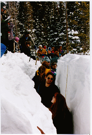
- Dig continuous trench about 50' long, 4 feet wide.
- Snow from pit goes on north (uphill) side!
- Working wall then is the north-facing wall on the
south side of the pit.
- Make a smooth working
wall with shovels to take measurements on.
- Break into groups of about 5-6 people.
- Each group does a normal snow profile, which includes:
total depth, density every ten centimeters, temperature
every ten centimeters, and snowpack stratigraphy.
Snowpack stratigraphy consists of dividing the
snowpack into layers, generally by hardness, and
recording layer thickness, grain size, grain type,
and interesting features (crust, ice lenses, etc).
- On Tuesday, for each snow profile give to your TA's
the snow depth, mean density, mean temperature, and
SWE.
- $10 for lift ticket
- bring your skis/snowboard
- black group and blue group
- proper clothing,
- avalanche transceiver if you have one
- backpack containing the following: water, plenty of food,
extra clothes, snow study equipment, avy shovel
and probe pole.
Following are two possible itineraries, actual itinerary will be
determined in the days preceding the trip based on predicted weather and
snow conditions. The itinerary is subject to change both the day of the
trip and during the trip at the ski patrols and/or instructors discretion.
Scenario #1: Good to fair weather, low to moderate avalanche hazard
8:00 am - Arrive at A-Basin.  Booted up and ready to go at 8:15
8:15 - Briefing/discussion on days itinerary
8:30 - Load Pali lift and make way to Avalauncher tower
8:45 - Avalauncher lecture/discussion/demo
9:30 - Make way to forest service gate and onto Thurmans Bowl
10:30 - Hand charge lecture/discussion/demo
11:00 - Snow interns dig pit in Thurmans while group moves to Narrow North
       Pole
12:00 pm - Group digs pit in Narrow North Pole
12:30 - Lunch
1:30 - Ski/discuss various in-bounds areas and pre/post-opening control
       work of these areas
3:30 - Leave through Forest service gate. Split group, half dig pit high
       in Montezuma Bowl while other half dig pit high in the Beavers
4:00 - Make way to highway via the Beavers and return to Base Area
Scenario #2: Bad weather, moderate to high avalanche hazard.
8:00 am - Arrive at A-Basin. Booted up and ready to go by 8:15
8:15 - Briefing/discussion of days itinerary.
8:30 - Make way onto mountain.  Observe morning control work.
       Ski/discuss various in bounds areas and pre/post-opening control work
11:30 - Lecture/discussion of avalauncher and hand charges @ Avalauncher
       Tower
12:00 pm - Lunch
1:00 - Dig pits at various in-area locations.
2:00 - Weather Station lecture/discussion @ Weather Station
2:30 - Avalanche rescue scenario
4:00 - Make way to Base Area
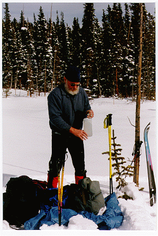
Spring 1997 Field Trip Photos
The sun always shines and the wind never
blows during a Snow Hydrology field trip!
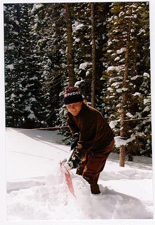
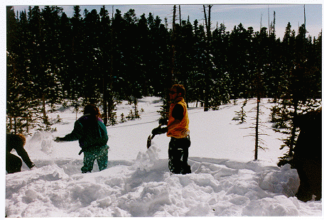
Digging a snowpit.
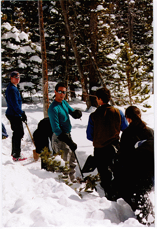
Taking a break.
Making snow measurements.
 SNOW HYDROLOGY (GEOG 4321): FIELD TRIPS
  SNOW HYDROLOGY (GEOG 4321): FIELD TRIPS


